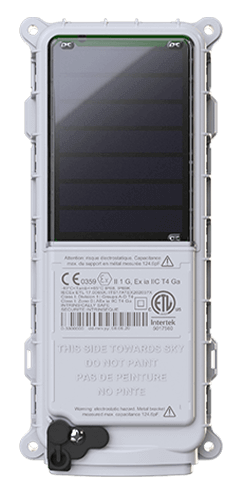
 SmartOne Solar
 SmartOne C
 STX3
STX3 SPOT X
 SPOT Gen4
 SPOT Trace

Wave Energy Testing from Oregon State University
About PacWave
In December of 2016, the U.S. Department of Energy competitively awarded Oregon State University funding to permit, construct and operate a wave energy test facility. Due to its location and expertise, the University was uniquely situated to fill the testing needs of the industry. Located 7 miles off the Oregon Coast, the PacWave South test site is on the outer continental shelf in the Pacific Ocean, just southwest of Newport. Covering a 2-square-nautical-mile area, the site is the first U.S. grid connected, pre-permitted facility of its kind.
Wave energy conversion (WEC) is one type of technology that the U.S. Department of Energy is researching to generate energy from the ocean. Other examples include tidal and current energy conversion, as well as ocean thermal energy conversion technologies.
With data and power cables running to the test site, wave energy devices can connect to the grid at the Utility Connection and Monitoring Facility (UCMF). The UCMF will provide developers with workspaces and access to real time data surrounding power optimization and device performance metrics and how it may be optimized.
The Challenge
PacWave was in need of weatherproof tracking devices, which could be mounted on their FLOATr (Fixed Location Ocean and Atmosphere Tracking) buoys to measure meteorological and oceanographic conditions such as solar availability, wind speed, wind direction, air & water temperature, ocean salinity, dissolved oxygen, current direction and more. In addition to location tracking, PacWave required a self-sustaining solution that would operate independently, without the need for added infrastructure on the buoy.
The Solution
Addressing PacWave’s need for an independent monitoring solution, Globalstar recommended SmartOne Solar devices. The rugged, weather resistant, solar powered asset manager has a battery life of up to ten years and requires minimal maintenance after installation. In addition to the use of the SmartOne Solar devices on the buoys, PacWave implemented SPOT My Globalstar, an enterprise monitoring solution for tracking and mapping management in real time. PacWave used the platform to import sonar surveys as a KML file, create geofences around their testing site and setup notifications in the event a buoy might become untethered and drift outside of boundaries. The geofence and movement alerts provide critical and timely information to the team to help prevent entangling or damage to other equipment in the test site.
The SmartOne Solar devices offered a turn-key tracking and monitoring solution that when paired with SPOT My Globalstar allowed PacWave visibility of their assets in real-time for management and distributing a variety of information on a single platform.