 SmartOne Solar
 SmartOne C
 STX3
STX3 SPOT X
 SPOT Gen4
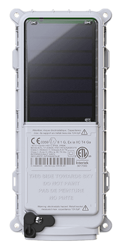
 SPOT Trace
Perth Kinross Council
In 2010 the Health & Safety Team at Scotland’s Perth & Kinross Council recognised the need to provide reliable communications and emergency support for its lone-working staff. Not only is this important to attract and keep skilled workers, the Council is a public authority, and has a duty of care to keep employees safe. A member of Perth & Kinross Council’s Structures and Flooding Team commented: “As a regulated public authority, the Council takes the welfare and security of staff very seriously.”
At 5,286 square km (2,041 square miles), Perth & Kinross is the fifth most expansive administrative region in Scotland. Its sparsely populated, and predominantly remote and mountainous. The region sees substantial rural through-traffic between central Scotland and the Highlands, and the area’s many bridges are vital conduits. Flooding is always a risk - caused by extreme weather and overflowing watercourses – therefore regular monitoring of critical transport infrastructure and waterways is essential.
The Structures & Flooding Team often needs to carry out essential and urgent work. Emergency inspections might need to be conducted at any time of day or night, often in hazardous conditions, inclement weather and rugged environments. Furthermore, this is frequently done by lone workers.
So the Council began to research technology options that could help its infrastructure inspectors and flooding specialists to carry out their important work more safely, with the ability to stay in touch with colleagues, even when their work takes them well outside of reliable mobile signals. What’s more, the Council needed a solution that could help staff summon help in case of accident or injury, and which could swiftly enable first responders to know exactly where they’re needed.
The Council considered several solutions, and conducted tests, including a trial of a solution based on GSM mobile technology. It soon became evident that the reach of mobile was insufficient and unreliable. To get the always-on, ubiquitous connectivity needed to stay in touch with workers operating across far-flung regions of the Council’s territory, they realised only satellite technology could deliver.
The Council turned to Edinburgh-based specialist communications technology provider Trackplot. The Council was introduced to the Trackplot Portal, an interactive online platform, and the control and command centre at the heart of Trackplot’s solution specifically created to monitor and safeguard lone and remote workers. Trackplot also introduced the Council to SPOT. The combination of Trackplot and SPOT – enabled by Globalstar’s fleet of satellites continuously circling the planet 1,414km high in Low-Earth Orbit – soon proved the right solution.
The Council Structures & Flooding Team member said: “Thanks to the lone worker safety solution provided by Trackplot, alongside Globalstar’s SPOT satellite technology, we can carry out our operations with the peace of mind that support is always on hand in case of an emergency.”