 SmartOne Solar
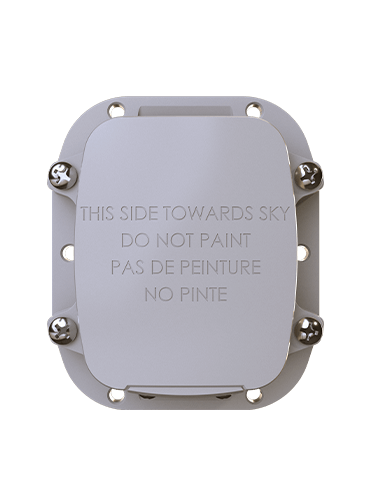 SmartOne C
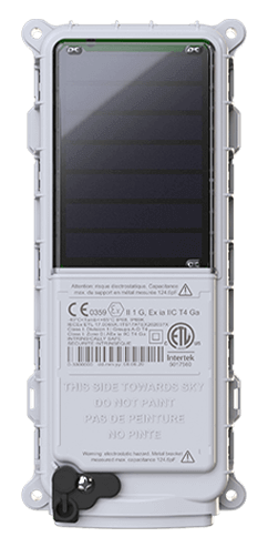
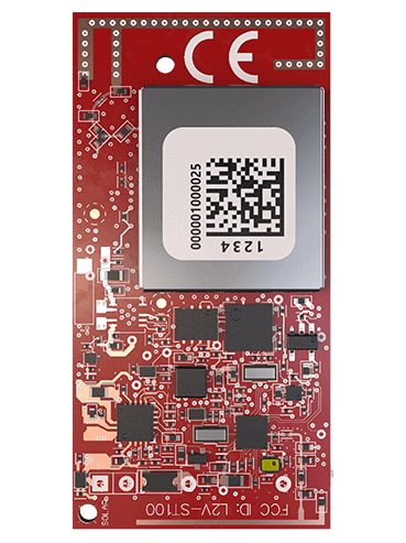 ST100
ST100 STX3
STX3 SPOT X
 SPOT Gen4
 SPOT Trace
Studying Ocean Currents in the Bay of Fundy with SPOT Trace Satellite Trackers
The Fundy North Fishermen's Association is a not-for-profit organization that represents small business, owner-operator commercial fisherman and stakeholders. Their mission is to support the needs of fishermen, promote healthy fisheries, and encourage viable fishing communities in Southwestern New Brunswick, Canada. The Association is currently implementing a 3-year ocean study project, scheduled to be completed in 2022, that seeks to better understand surface currents in the Bay of Fundy and Gulf of Maine. Globalstar’s SPOT Trace Satellite Tracking devices are being used in the second phase of the project, now underway, to track ocean current directions via drifter way points.
Knowledge of surface currents is critical for inshore commercial fishermen to fish successfully in the Bay of Fundy. This data informs decisions relating to how fishermen set their fishing gear and when to haul their gear. In addition, the Bay of Fundy has been increasingly impacted by shipping traffic and human activity, which introduces potential risks to fishing activities, which can be better understood by tracking ocean currents. The data the Association is capturing regarding surface currents, with a focus on the Saint John Harbour, will assist measures to be put in place to mitigate potential impacts of shipping and human activities on species, habitats, and commercial fisheries throughout the Bay of Fundy.
“Given that a large proportion of shipping traffic includes oil tankers offloading product for refinement, we need to understand predominant winds at specific times of year and the impact on ocean currents in the event of an oil spill,” said Lillian Mitchell, Executive Director, Fundy North Fishermen's Association. “There is no mechanism near shore that captures this data. An oil spill would be one of the greatest threats to our lobster stock and fishery. The data we capture from this ocean currents study will help inform and improve oil spill response plans.”
The Association chose SPOT Trace Satellite Tracking devices to attach to the drifters because their cost effectiveness, small size, reporting frequency and waterproofing features. Using 100% satellite-based technology, the SPOT Trace devices enable advanced mapping and tracking for reliable and near-real-time visibility to the location and movements of the drifters.
“It’s been essential to set the SPOT Trace tracking or ping rate at 5-minute intervals, otherwise it would be impossible for us to locate the drifters. Sometimes we are right on top of them, but it can still be hard to find them on the ocean surface. We’ve already found that at certain times of the year the drifters will travel to rural communities around the Bay of Fundy. That all changes in October when a shift in ocean currents takes place,” says Mitchell. “Also, the SPOT Trace devices ping us with location data giving us a solid visual representation of our drifters. We overlay these mapping points with weather data from other sources, including lunar cycles and tidal conditions.”
“This is the first project of its kind in the near shore area of Saint John Harbour,” said Mitchell. “We couldn’t have done the project without SPOT Trace. This has been the only way we capture the data. There wouldn’t be any data without SPOT Trace. We are just starting to dive into the data, there are lots of interesting findings to come.”

Artigo por:
Globalstar
Globalstar