 SmartOne Solar
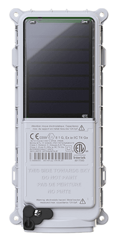
 SmartOne C
 STX3
STX3 SPOT X
 SPOT Gen4
 SPOT Trace
Tagging the Pathways of Plastic Trash in Toronto Harbour with Satellite
The University of Toronto Trash Team (U of T Trash Team) has launched an innovative investigation called the Tagging Trash project that aims to reveal pathways of litter in the Toronto Harbour to better understand local sources of litter and help inform how to tackle our plastic pollution issue.
In Spring 2021, the U of T Trash Team deployed a fleet of “Blender Bottle” water bottles at strategic locations around Toronto Harbour. Each bottle contained an embedded Globalstar SmartOne C satellite managed asset tracker. The GPS-tagged bottles represent floating plastic litter in Toronto harbour, and the team is using data captured via the Globalstar satellite network to follow the pathways of the bottles to reveal movement patterns and potential accumulation zones for floating litter.
The team’s project lead, Cassandra Sherlock, says that tracking the pathways of these bottles enables them to better understand local pathways of litter (e.g., where in the harbour it may come from and where it’s taken by the wind and surface currents).
“It is evident Toronto has a trash problem in the harbour. The data we are collecting will help inform placement of trash capture devices, such as Seabins, to divert litter away from Lake Ontario. The data also helps us understand where litter enters the water, how it moves from point A to B, and areas where it eventually accumulates.”
The team is collaborating with the University of Toronto Scarborough, Ports Toronto, Toronto and Region Conservation Authority and the Ontario Ministry of the Environment, Conservation and Parks on local research and technological solutions to help prevent and clean up floating plastic and other anthropogenic litter in the harbour.
The Globalstar SmartOne C satellite trackers are embedded in air-tight, bright orange water bottles and housed on a small platform and secured so that it’s constantly facing the sky and the satellites. Twenty-seven bottles were thrown into the harbour to mark the start of the first deployment in Spring 2021 from fourteen different locations, from Bathurst Quay, to Toronto Island, to the Shipping Channel.
The SPOT my Globalstar cloud-based mapping service provides a critical component to the Tagging Trash project. Location data from each device is mapped at scheduled intervals providing the team with waypoints marking the location of each of bottle every hour. The automated reporting from SPOT my Globalstar also enables the team to compare data captured over the last hour, week or a longer period of time, taking weather, wind events and other environmental factors into consideration. The Smart One C utilizes a motion sensor, comparative GPS positions and custom-configured sensors to gather and transmit asset status information from the bottles.
The first part of this project is set to wrap up during August 2021 and the team will then move into data analysis to develop hydrodynamic models which will be published in a report based on their findings.
“When it comes to tracking the pathways of plastic trash in harbours, there is a gap in available research. The insights emerging from our work is invaluable as there are very few projects underway like this. We hope the project can be extrapolated into something larger and eventually become more global. We all have responsibility for our lakes and all other aquatic life. The Globalstar satellite technology that enables us to collect this data has so much potential. Depending on what we find, we are looking to the next phase in collaboration with Ocean Conservancy to investigate pathways of plastic litter in large rivers in North America.”
More information on project Tagging Trash or the U. of T Trash team

Artículo por:
Globalstar
Globalstar