 SmartOne Solar
 SmartOne C
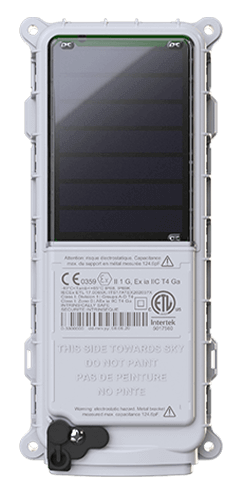
 ST100
ST100 STX3
STX3 SPOT X
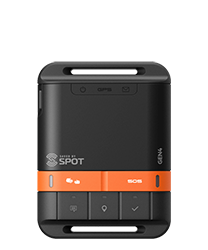 SPOT Gen4
 SPOT Trace
SPOT Ranching Intelligence with West Sky Technology
West Sky Technology , founded by Kristine MacRae and Nikki Weston, specializes in making life easier for ranchers by improving animal welfare and ranch management practices. Nikki and Kristine understand the ways in which satellite technologies allow ranchers to improve their way of life. As part of a collaboration with Global Satellite Engineering (GSE), Globalstar satellite-based handheld SPOT X units in conjunction with GSatTrack made communication possible even in the remote mountains of Utah and Idaho.
About GSatTrack
GSatTrack is an industry-leading telematics visualization platform created by GSE that serves clients with a powerful suite of tools that allow asset managers to monitor, manage, and maximize their data ecosystem. GSatTrack delivers a web-based, integrated satellite and GSM tracking solution, compatible with modern web browsers and hardware manufacturers. With GSatTrack, asset locations and movements - including position, speed, altitude and heading - are tracked in real-time worldwide via GPS updates, and viewable in a single interface.
The Challenge
There is a large digital communications gap for ranches throughout the world because they operate in rural areas where cellular connections are unavailable. Nikki’s ranch, like so many, operates predominantly in remote locations across multiple state lines where communications are difficult, conditions are tough, and distances are long. They often drive the herd in sub-freezing temperatures at elevations that can make standard communication impossible. Today the cowboys are often disconnected from homebase while working on the range. This creates gaps where there is no reliable back and forth communication.
The Solution
GSE provided Nikki with Globalstar SPOT X units connected to GSatTrack, which made it possible for the team in the mountains working the cattle to communicate via text. Establishing the SPOT X - GSatTrack communication system meant homebase could track the team remotely, and message back and forth using the GSatTrack portal and interfaces on the SPOT X devices. Because these devices also report position and other telematics information to GSatTrack, Nikki was able to create Geofences and Alerts related to the whereabouts of her team, giving her additional insights that allowed her to communicate with them in the event of major weather shifts or changes to roundup strategy with real-time messages.
The Result
The data generated by Winecup Cattle Co. in the field give the team a greater understanding of ranch logistics and communication needs. This information helps the team make decisions immediately with real-time intelligence and immediately change course if necessary to ensure safety and efficiency. Employing the Journeys feature from GSatTrack, they also have the ability to save routes and use them for future round-ups. The increased efficiency and improved resource allocation that accompany the outfitting of drivers also allows them to coordinate corralling more effectively, making sure the right vehicles are in the right place at the right time.