 SmartOne Solar
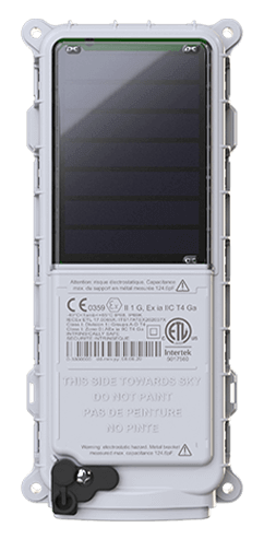
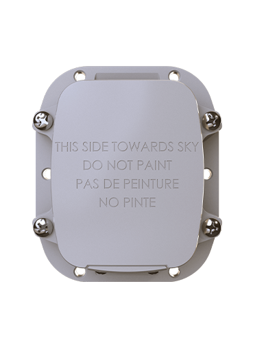 SmartOne C
 ST100
ST100 STX3
STX3 STX3 Dev Kit
 SPOT X
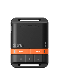 SPOT Gen4
 SPOT Trace
Boise State University Glacier Tracking and Research with SmartOne C
About
Ellyn Enderlin, Assistant Professor in the Department of Geosciences at Boise State University, has a unique career profile she ascribes to herself: glaciologist. Known on Twitter as @Glacier_Doc, Ellyn analyzes changes in the size and movement of glaciers, ice caps, ice sheets and shelves. Ellyn and her students work together to advance the understanding of the varying sensitivity of glaciers to climate change using remotely sensed and in situ observations as well as seasonal snow in mountain regions and on glaciers.
THE CHALLENGE
Glaciers can suddenly change the speed that the flow due to changes in climate as well as feedbacks within the glacier system. To understand triggers for rapid changes in glacier speed, Ellyn and her one graduate student are tracking the surge of Sít’ Kusá (Turner Glacier) in Southeast Alaska. A surge is a short-lived occurrence where a glacier moves many times its normal rate, when meltwater or sediment accumulates at the base. To find scientific instruments installed on the glacier, Ellyn needed a rugged satellite tracking option that would withstand the harsh weather conditions in Southeast Alaska.
THE SOLUTION
The National Science Foundation-funded project team installed on-ice GNSS/GPS stations to map speed and elevation changes with high precision and passive seismic stations to record water and sediment movement at the glacier base. Globalstar’s SmartOne-C devices were mounted onto six-foot-tall poles which were driven into the glacier next to the scientific instruments. The height of the poles was needed to accommodate the winter accumulation of snow while still allowing the SmartOne Solar a clear view of the sky for optimal operation and helicopter clearance for safe landing.
The Results
The SPOT My Globalstar dashboard allowed the research team to track their instruments and locate them in the field with more confidence. Because the field team was able to find the instruments faster than when they were simply tracked using satellite-based estimates of glacier speed, the team was able to visit all of their instruments to ensure they were working properly. Additionally, the reporting available from SPOT My Globalstar provided the team with knowledge that their instruments were likely still recording data and had not fallen into crevasses or been totally buried by snow.
To find out more about the research Ellyn is conducting with her students, visit: https://sites.google.com/site/ellynenderlin/home
Learn more about the SmartOne C